


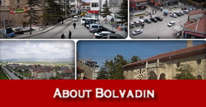
Geographical Information
Bolvadin came into existence during the 3rd and 4th geological times. It is surrounded by Sultan Mountains (2519m) in the south, Emir Mountains (2307m) in the north-east, and Paşa Mountains (2000m) in the north-west. It is in the Aegean region’s inner west part. Its altitude above sea level is 1016 meters.

Bolvadin’s lands are generally plains. There are also some uplands like Paşadağ and Çoğu above the Sultan, Emir, and Paşa Mountains. The sole river in Bolvadin is Akarçay. It borns from Ahır mountains and flows into Eber lake. Eber basin is a kind of tectonic graben and it founders through the floodwater from Akarçay and Sultan Mountains. Bolvadin has a kind of continental climate. Summers are dry and hot and winters are cold and severe.
Source: Bolvadin Municipality
Source of map: Bolvadin Qaimaqam